On Saturday, 17 May 2008, I joined eight other cyclists from BikeForums.net (where I have the user name “Velo Vol”) on a bicycle ride in Haywood County, NC. The course was the “Pigeon Loop“: it started on the Blue Ridge Parkway at the Pisgah Inn, descended down into the valley on US 276, climbed back up the ridge on NC 215, and returned to the Pisgah Inn on the parkway.
I arrived a few minutes late at the Inn, but everyone was gracious enough to wait for me. I put on my cycling gear and prepared to ride. It was cool at 5,000 feet (somewhere in the 50s) so I donned my arm warmers.
At about 10:25 a.m., we rolled out from the inn.

Heading downhill from the Pisgah Inn
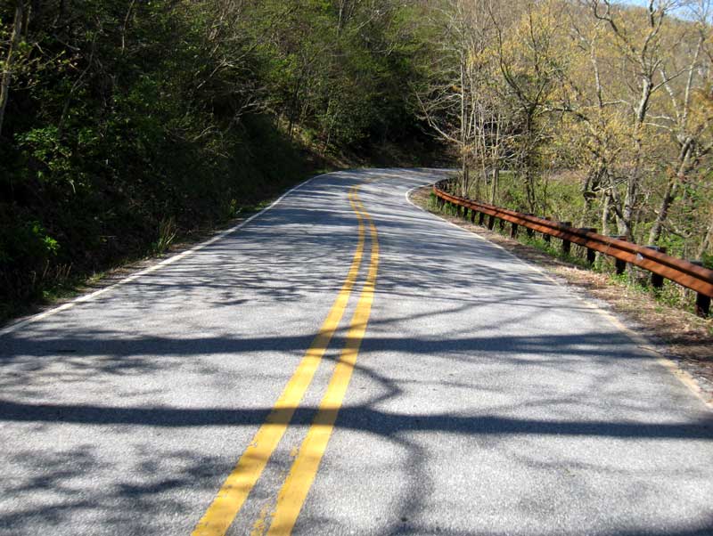
Descending off the mountain on US 276
Downhill riding obviously isn’t one of my strengths. As soon as we turned off the mountain, the group dropped me like a lead weight. I didn’t catch back up for several miles.
US 276 descends steeply off the mountain for four or five miles, then levels out following a stream further into the valley. The group maintained a good pace through this stretch at about 22 m.p.h.

Along US 276

I finally caught up to everyone as they stopped to shed layers of clothing. The temperature in the valley several degrees warmer than it was on the parkway.
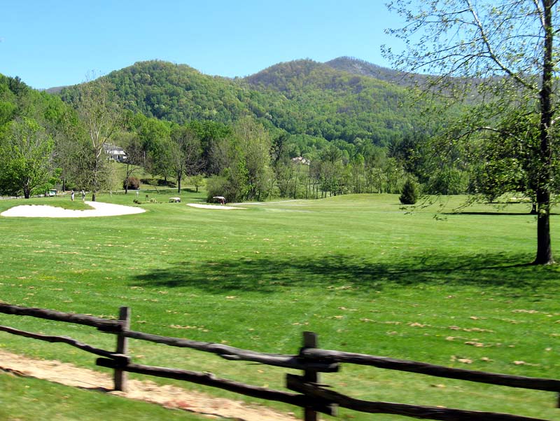
A golf course by US 276
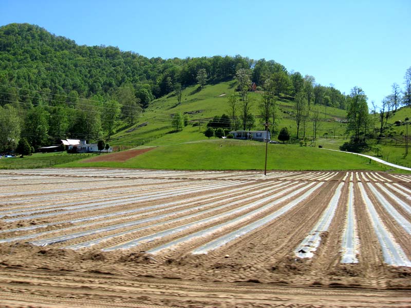
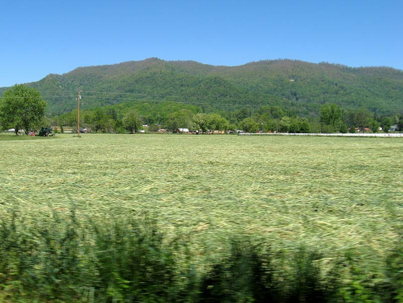
Agriculture along US 276
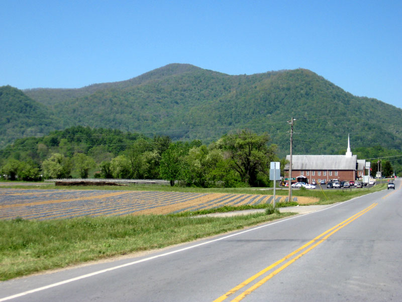
Along US 276
Field along NC 215
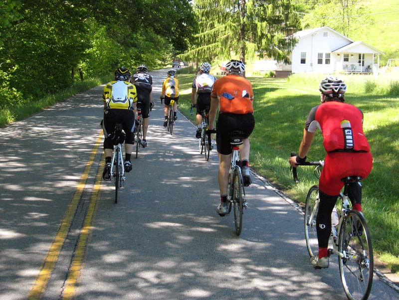
The group riding on NC 215
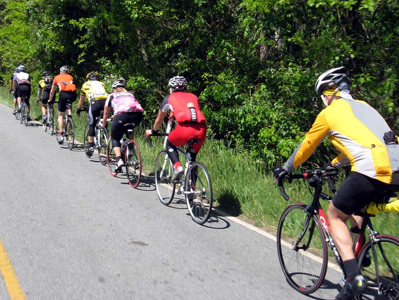
A more streamlined peloton
After a nice flat stretch on NC 215, the road turned uphill into the woods.

Lake Logan
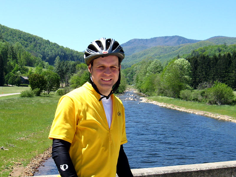
Me posing on the bridge along Lake Logan
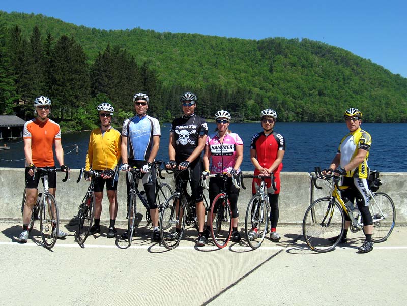
Group picture at Lake Logan
After a brief break at the lake, the climbing continued for several miles through the woods. It’s a tranquil ascent on a low-traffic road: not too steep, but tough enough to work up a sweat, even when its only in the 60s.

We took a break to regroup at a waterfall. Nearby, a spring provided cool mountain water. It was good.
The grade on NC 215 gets a bit steeper past the waterfall. The tree cover opens up more, offering some terrific mountain views.

Scenery on NC 215

Looking downhill near the top of NC 215. There are several bald mountains in this area.
Finally, the road reaches the Blue Ridge Parkway.
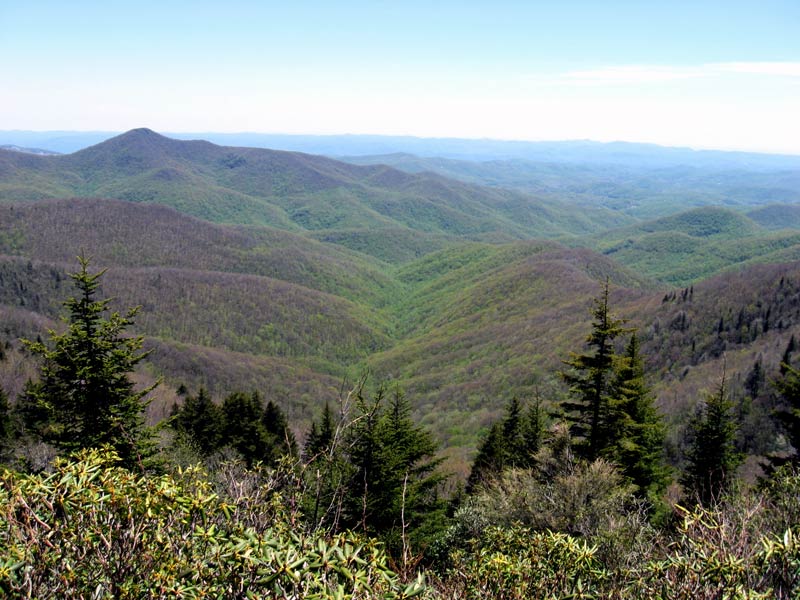
View from Courthouse Valley overlook

We had a food break at Courthouse Valley overlook. A couple riders generously provided peanut butter and jelly sandwiches and other provisions. That went down well, as I hadn’t eaten for six hours.

Another view from Courthouse Valley overlook. Note that the leaves have yet to emerge above 5,000 feet.
The ride’s last leg was a 14-mile section of the Blue Ridge Parkway. The traffic wasn’t bad, and the views were spectacular. Great stuff.
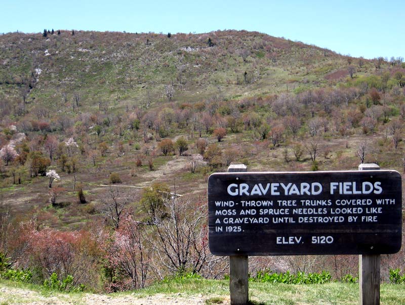
Graveyard Fields
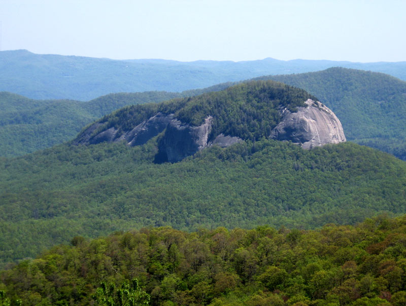
Looking Glass Rock

Last climb up to the Pisgah Inn
Distance: 51.7 miles
Riding time: 3:45
Overall, an excellent ride. The weather was great, the roads were good, the riders were friendly, and the scenery was outstanding.
If you ever get a chance, I highly recommend riding in this area.
Those traveling the Parkway to reach this area should be aware of a closed section and detour.
I have posted detailed and thorough information about the closed section of the Blue Ridge Parkway north of Asheville, NC including maps of the Park Service recommended detour you can print, detailed descriptions of the roads involved, suggestions to improve the recommended detour, and four alternative detours around the closed area. This closure is in effect until spring of 2009. The maps and information are located at:
http://americaridesmaps.com/Local_info_parkway_detours.htm
Directions for printing the maps on your home printer are included.
Here is the web address if the link above is not active if the forum software cannot parse the address correctly:
americaridesmaps.com/Local_info_parkway_detours.htm
While I do make maps for motorcyclists, I also bike. If you enjoy challenging rides in the mountains this area has a wealth of them.
Enjoy your ride!