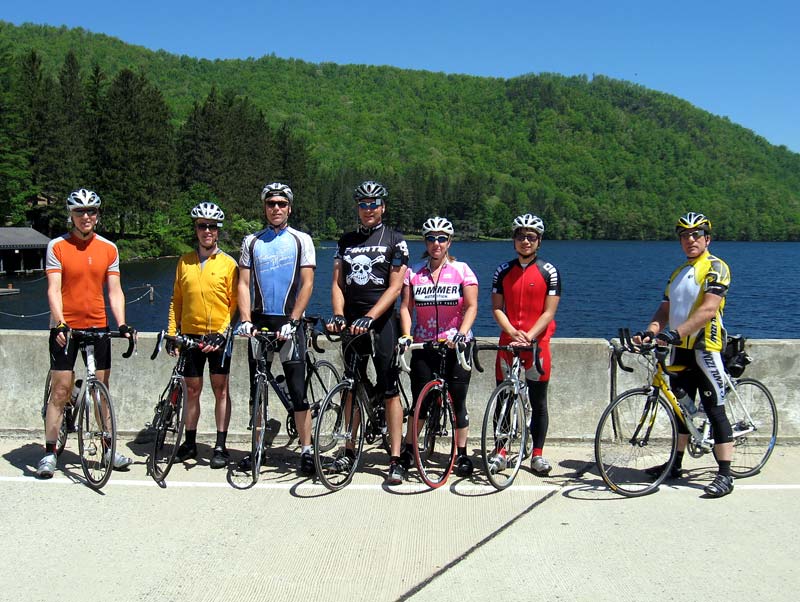
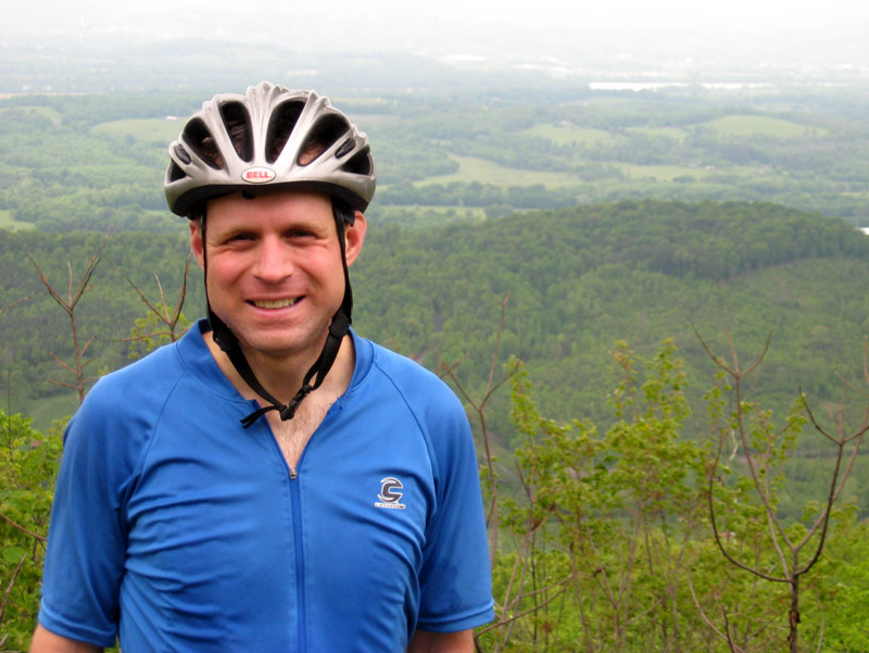
On 3 May 2008, I completed my third 3-State 3-Mountain Challenge.
The day started dark and early at 4:45 a.m. As I munched down my breakfast plate of waffle fries, I flipped on the Weather Channel to see if the forecasted rain had materialized. Indeed it had, as a solid line of showers was moving into Middle Tennessee. The question was not if it was going to rain, but how much it would rain.
I don’t particularly enjoy cycling in the rain, so I considered skipping the event. But I had already paid and prepared for it. So, buoyed by a sense of adventure, or stupidity, I loaded up the car and headed down I-75.
Other than a near-miss with a deer on the highway, the drive went well for the first hour or so. But as I crested a ridge south of Cleveland, I caught the ominous sign of dark clouds on the western horizon. And then as I came off the ridge descending to downtown Chattanooga, I was greeted by a couple flashes of lightning lighting up the valley.
Sure enough, rain started pelting my windshield just a few minutes before I exited the highway. It would have been difficult to coordinate the ironic timing any better.
I parked at Finely Stadium and went to pick up my registration packet. Based upon the number of empty spots in the parking lot, there were obviously many no-shows among the 2,400 riders who had registered. But there were still a good number of cyclists huddled under nearby shelters.
At the registration table, the volunteer informed me that due to weather, the start time had been delayed (half an hour) until 8:30 a.m. Organizers hoped that once the overhead line of thunderstorms passed, conditions would be better for riding. I was running a bit behind, so the delay actually worked out well for me.
By 8:30 a.m. the storm front had passed over and the rain had tapered down almost to a drizzle.

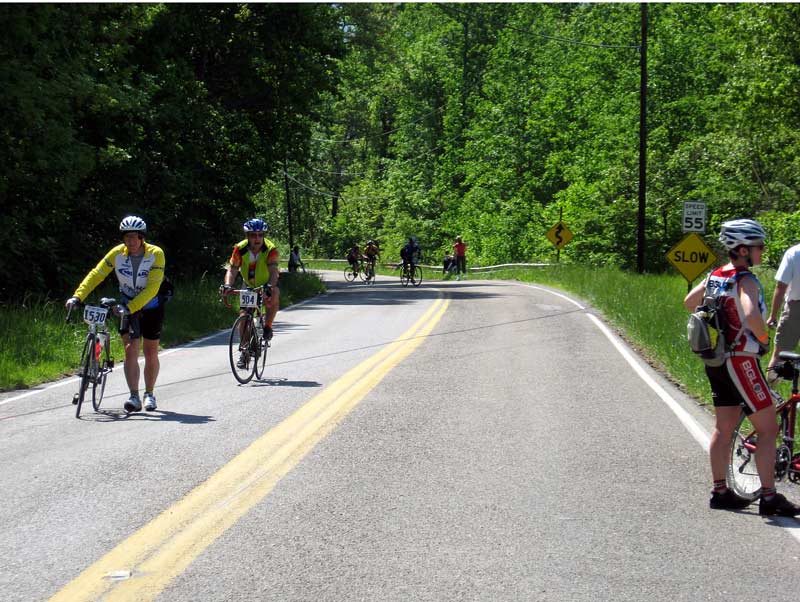
At the start line. Cyclists, start your engines.
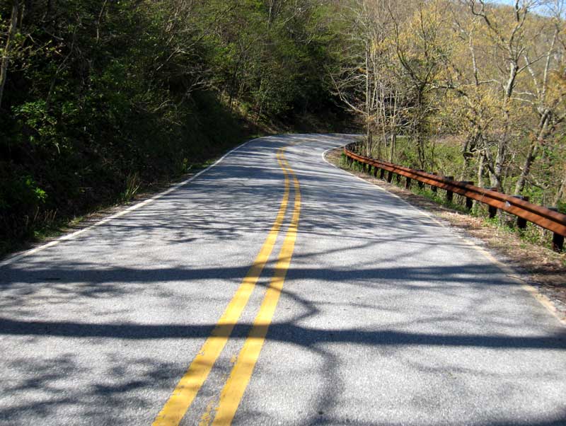
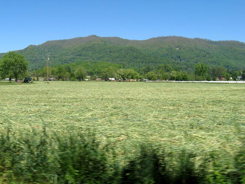
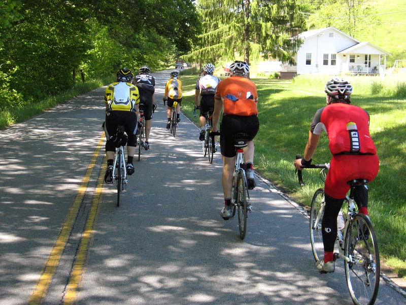
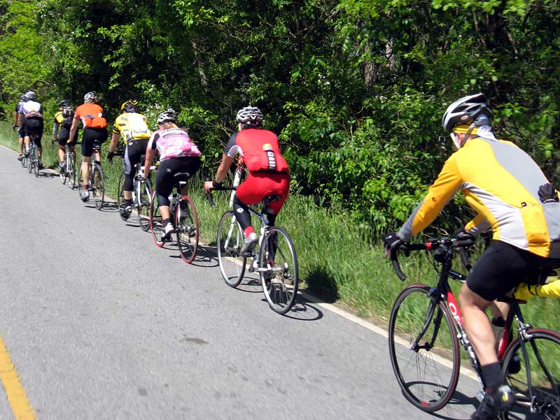
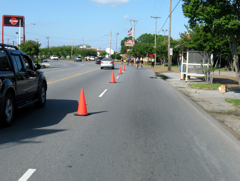
Just after the start, the rain picked up again. Because of the wet conditions, I didn’t take any pictures the first 25 miles. This year organizers altered the route through Chattanooga. Instead of going directly through downtown, we followed the Riverfront Parkway to the Tennessee Aquarium, then made a couple turns and up onto the TN 27 bridge.
The rain held steady for about 10 miles. It wasn’t heavy, but it was enough to slow me down. More importantly, since I wasn’t wearing rain gear, I was wet and chilly (bordering on cold) the first three hours. That wasn’t fun.
By and large the rain ceased by the time I reached Suck Creek Mountain. It remained cool and damp for a few more hours, but the showers were gone.
The climb up Suck Creek Mountain went well. I found a good rhythm and chugged five miles uphill. I was kind of glad for the climb, because I thought it would help me warm up.
I didn’t feel to confident with my wet brakes, so I took it slow coming down Suck Creek Mountains. Several riders blew by me. They must have better brakes.
I did not look at the cue sheet prior to the ride, so I was surprised not to see the first rest stop at its former spot at Powell’s Crossroads. Ride organizers changed a couple rest stop locations this year, which made me feel a bit disoriented.

Ketner Mill Road
Finally, and unexpectedly, I arrived at the first rest stop.

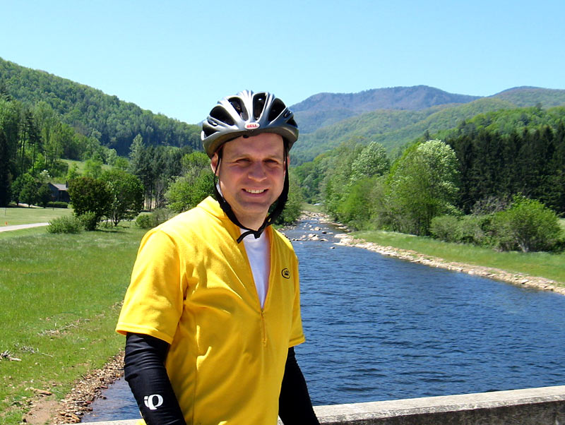
Rest stop at Ketner’s Mill

River at Ketner’s Mill
I was shivering at the mill, but thereafter I gradually began to dry out and warm up. But gusting winds remained a factor for several hours.

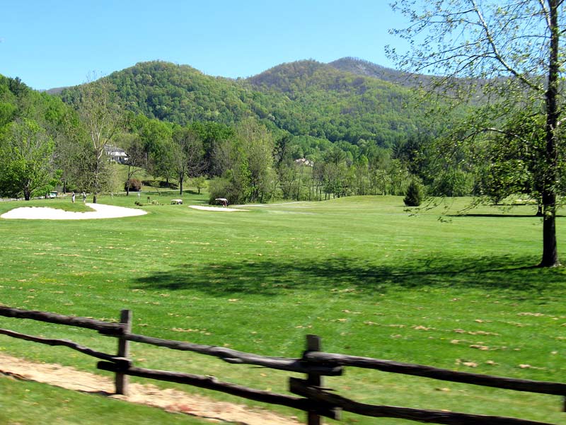
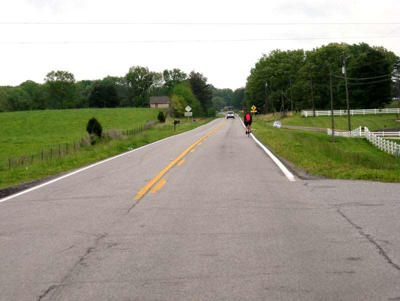
Countryside along TN 27

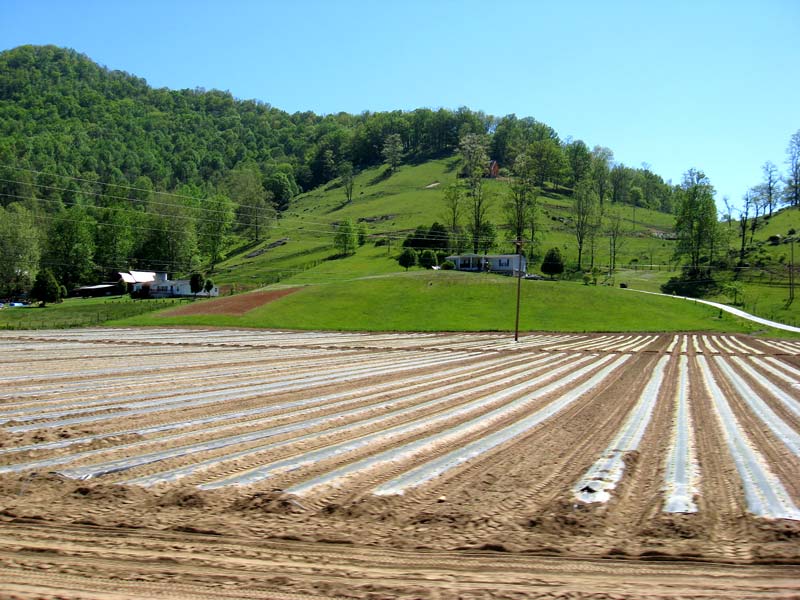
TVA Road

Rest stop at Big Shot Bubba’s Fireworks

Food at Big Shot Bubba’s Fireworks rest stop

Tennessee River (Nickajack Lake) at Marion County Park
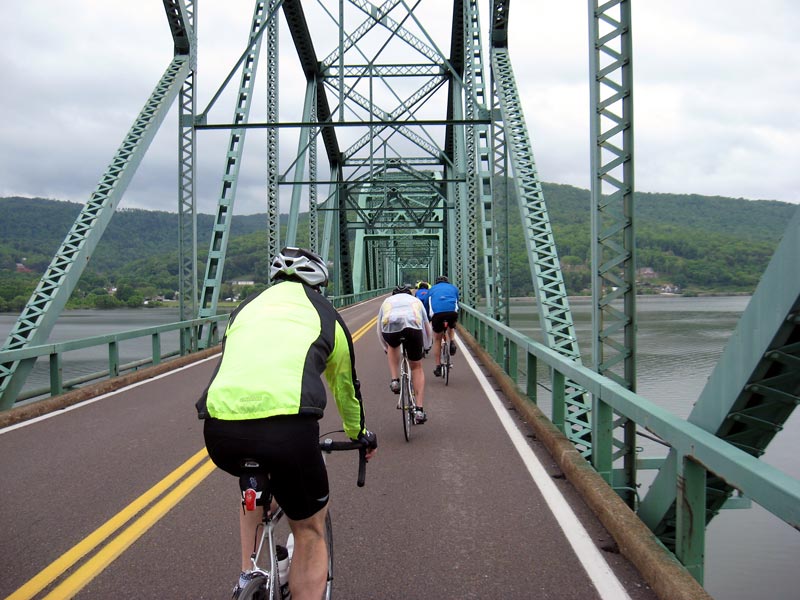
Crossing the Tennessee River (Nickajack Lake) on 41/64/72
As you can see, the bridge doesn’t have a shoulder or much of a railing. It would be a little scary crossing it on an extremely windy day.
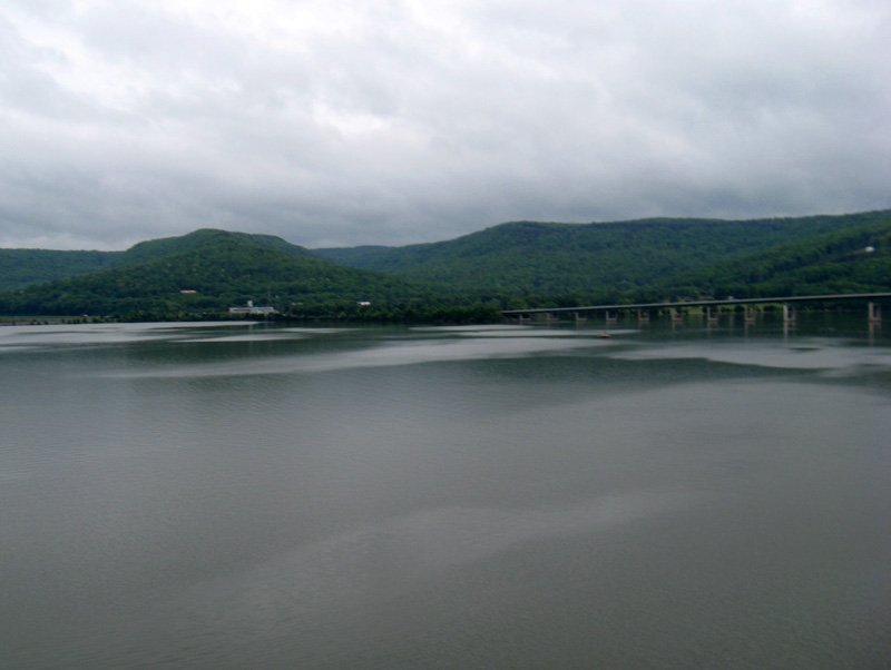
Looking south on the Tennessee River (Nickajack Lake)

Looking north on the Tennessee River (Nickajack Lake)
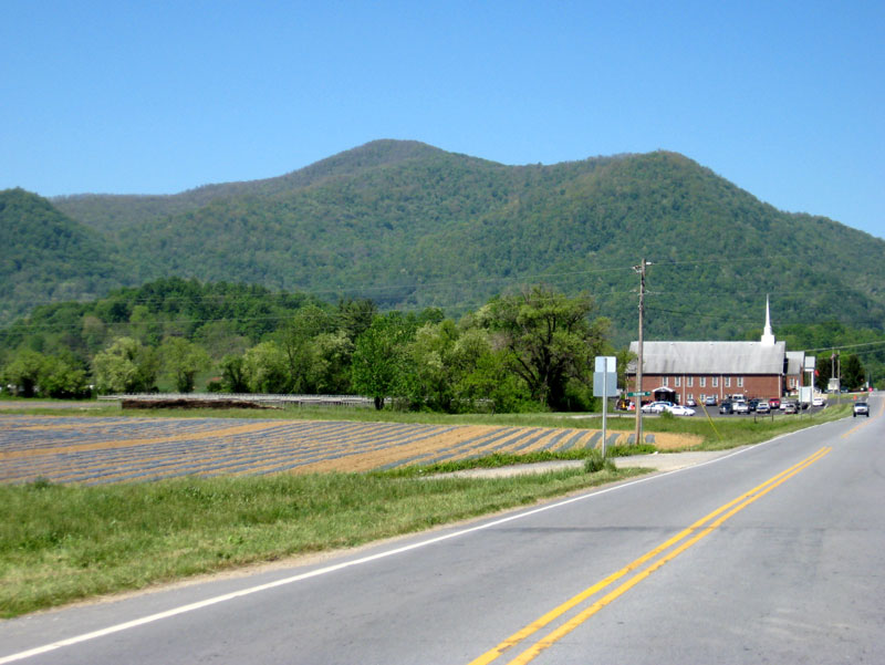
Shortly after turning away from Nickajack Lake, the route enters Alabama. Every year I hope they will have repaved this road, and every year I’m disappointed.
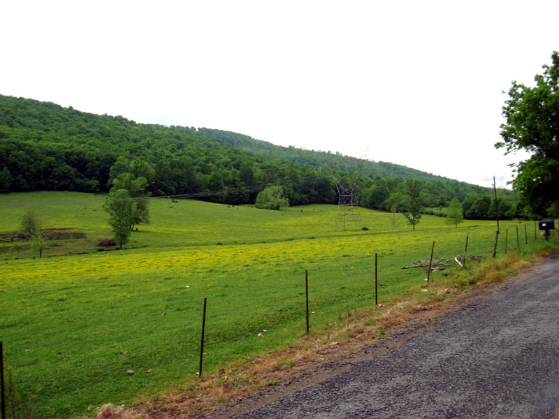
AL County 91 Road
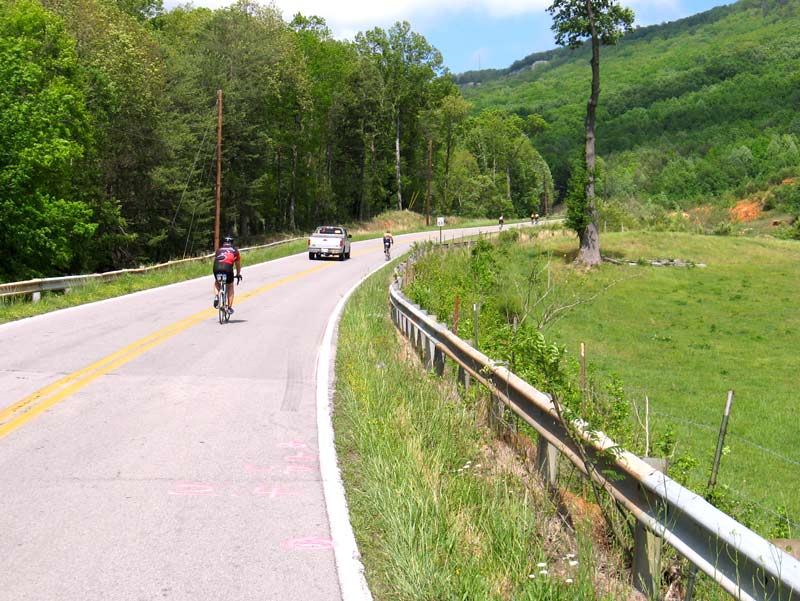
Once you turn off County 91, you arrive at Sand Mountain, the second of the three mountains. This climb is shorter, but steeper than Suck Creek Mountain. Like the former, it’s shaded, which is a blessing on warm sunny days.
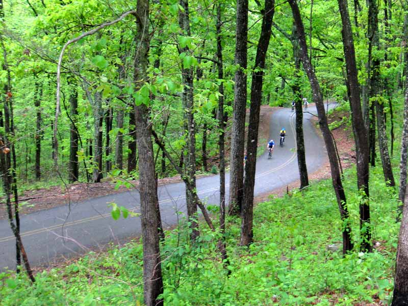
Climbing Sand Mountain
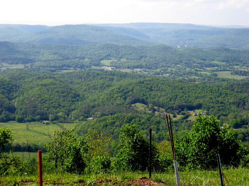
There’s a nice overlook spot at the top of the mountain. Unfortunately, overcast conditions didn’t make for good photos on this day.
Me atop Sand Mountain
It was getting really windy as I arrived at the third rest stop. I feared another storm was blowing in. Luckily, one wasn’t. And once the route turned into Georgia, I got a boost from swirling tailwinds. The route is fairly flat in this section. So if the wind blowing in the right direction, you can pick up the pace.
Along GA 301
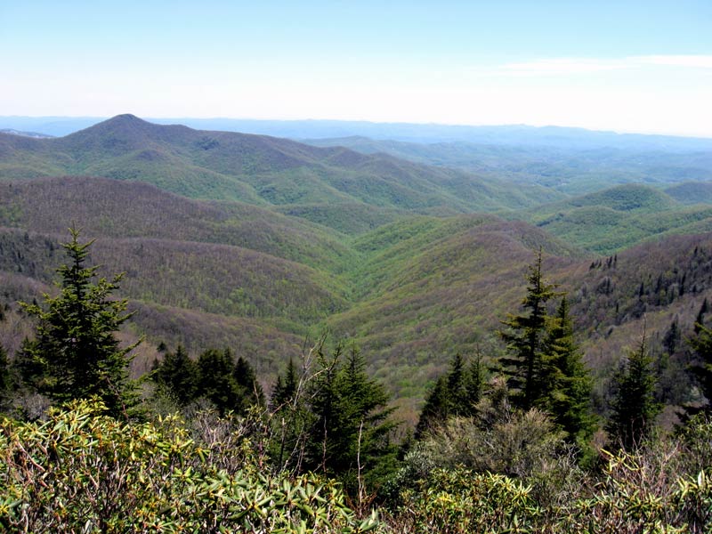
After a few miles, it’s back into the hills.
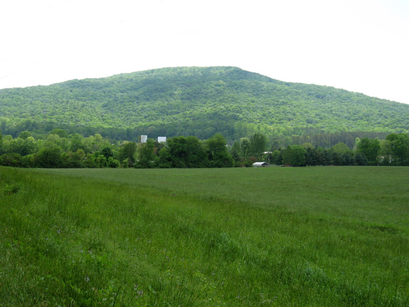
Lookout Mountain
At mile 83 you arrive at the day’s toughest test–the climb up Lookout Mountain. I took a few minutes at the rest stop at the base of the climb to dry my head off prepare for the run up the slope. By now the sun had emerged. And while the temperature wasn’t particularly warm for May, I knew I’d get hot quickly. I was correct.
Looking up from the start of the Burkhalter Gap Road climb
Burkhalter Gap Road scales the mountain at a tough 8-10% grade for two miles. There’s then a short let-up–just enough so that you can start to catch your breath. The ascent culminates with a grueling 0.2-0.3 mile stretch of 14
-17% grade at the top. It definitely qualifies as a “challenge.”
Looking down from the top onto Burkhalter Gap Road
It was a slow, grinding climb. I paced myself at the bottom and averaged about 6 mph. By the time I got to the last pitch I was down to my lowest gear (39×25), and didn’t have much left in the tank. But I made . . . without stopping . . . drenched in sweat.
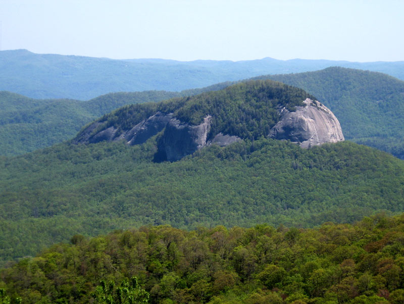
After a taking a few minutes to cool off, I embarked on the last 16-mile stretch. There are a number of rolling hills in the last section, but no long, difficult climbs. The road offers a few peaks at the valleys below.
Looking west atop Lookout Mountain
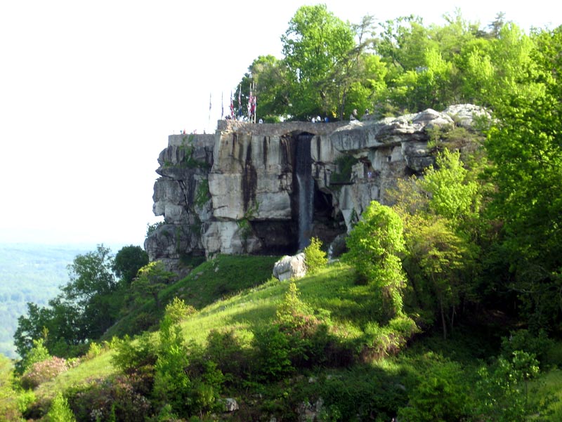
Lover’s Leap at Rock City

View from Lookout Mountain

Descent off Lookout Mountain on Red Riding Hood Trail
Red Riding Hood Trail isn’t a particularly safe road for cycling. It’s fast, it’s windy, it’s relatively dark (shaded), and there’s quite a bit of traffic.
This point was made starkly clear to me as I approached the base of the mountain. As I came around a turn, I had to brake suddenly because traffic was stopped. After standing in line for a couple minutes, I was able to move forward and discovered to reason for the backup: a cyclist had crashed.
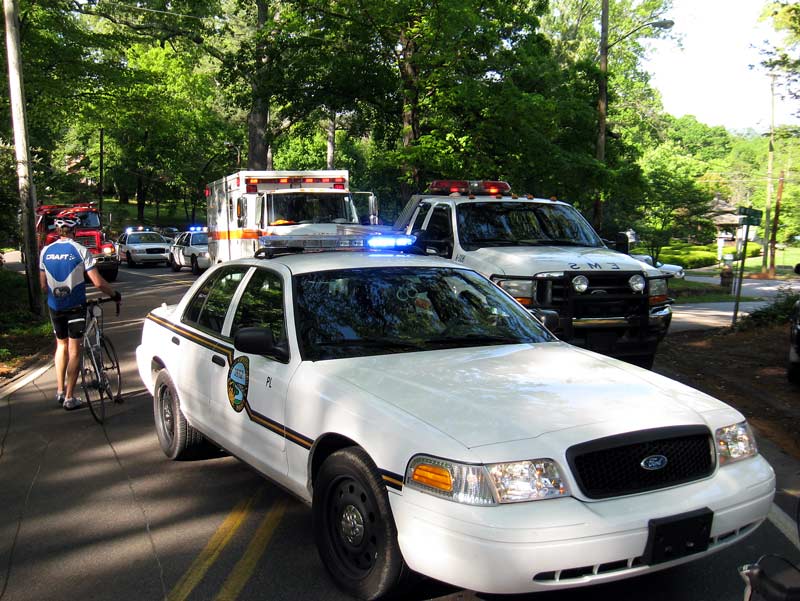
I didn’t linger to find out what had happened, but it appeared to be a fairly serious incident as they were loading someone on a stretcher. I hope he(?) is okay. It was an unfortunate break because it was happened just a block or two before the road straightens out.
After you exit Lookout Mountain, it’s an easy flat ride back to Finely Stadium. The police seemed to have a better command on traffic, as I didn’t encounter the intersection confusion I experienced last year. It’s nice to have our own cycling lane.
Returning to Chattanooga on Broad Street
I arrived at the stadium tired, but happy that the ride turned out much better than I expected at the outset.
Ride statistics:
Distance: 100.8 milesRiding time: 6:54Average 14.5 mph
This year took forty minutes more riding time than 2007. I assume that weather conditions account for much of the difference. Or else I’m just getting old.
I would have liked to have posted a picture of the post-ride food, but they ran out of pizza. I found that odd, since there was plenty of food at the rest stops. I guess that’s the price I pay for being slow.
Aside from that screwup, I thought the organizers did a good job managing a ride under adverse conditions. If you’ve never done this ride, it’s definitely one to put on your list.
UPDATE: On a cycling forum, “greg44” says:
That’s a great ride report. The guy that wrecked was in our group. He’s ok, but took a bad spill in that curve. Lost control and hit a stop sign which knocked his seat off, leaving the seat rails hooked to the post. During the flipping to a stop the exposed seat rails stuck into his calf. I was at Finley when my friend that he was riding with called me to come and pick him up. I must have arrived from Finley in my truck about the same time you did. When I got there they were loading him in the ambulance. He still had the seat rails stuck in his calf, emt’s cut the post off and he went to the hospital with it still in his calf. Luckily it just did tissue damage and after a couple days in erlanger he was released. It was a terrible looking wound. Matter of fact the picture you posted crossing the narrow bridge over Nickajack has him in it. I’m the first rider you see and he is the one in front of me wearing the clear rain jacket. Good job on pictures and report. That was my first 3/3 and will not be my last. It was awesome.
I’m glad to hear the injury apparently wasn’t permanent.
UPDATE II: From the comments:
My name is Chad. I am the guy who took the nasty spill at the bottom of Lookout. How cool of you all to not only post the pics, but the kind words are very much appreciated. I am back to work now, a little sore and stiff in the calf area .. but I survived. I ended up loosing about 30% of my calf muscle after reconstruction surgeries, but as I understand it things will be as good as new in a few months. It was a very odd injury no doubt but it could have been a lot worse. Thank You all for your concern. I’ll be back next year.
That’s good news.