
Three other church members and I perform an arrangement of this hymn.
2015 Knoxville Community Band Christmas Concert
I play the trumpet. With a few interruptions, I’ve played it since I was in grade school. Since college, I’ve played either by myself or accompanying the hymns at church.
At the beginning of November I was overcome by a rare urge to try something new. So I emailed the director of the Knoxville Community Band and asked him about joining. He said they could use another trumpet player. So the following Tuesday I showed up and slid in with the 2nd trumpets.
It felt strange being in an organized music group again. I had not played in a band since my freshman year in college–over 20 years ago. In particular, four things took some getting used to:
- Tempo: Band music can move much faster than hymns
- Key/Time Signature Changes: You’ve got to pay attention to the music
- Sitting Out: The trumpets rest quite a bit; you’ve got to count measures
- A Conductor: You’ve got to watch him
I joined the band as it was ramping up preparation of Christmas songs, which culminated in a concert Sunday at the Bijou Theater. Here’s video and a few photos of the event.
I don’t get much camera time. One of the shots you can see me is at 37:37.

The view from my seat

Awaiting the start

The Bijou audience
I’ve enjoyed being in the band. Both playing and listening to the music soothes my soul. I look forward to more of it next year.
My Skin Ordeal
This is another post on my chronic health issue, psoriatic arthritis.
Over two years ago, after joint inflammation had mysteriously taken over my body, a new nuisance emerged: itching.
Large areas of my torso itched, and I didn’t know why. Was it a side effect of the drugs I was taking? My skin reacting to soap? Landry detergent? A new cat allergy? I couldn’t figure it out.
Eventually I stopped trying, coming to believe that it was part of my then newly-diagnosed condition–psoriatic arthritis.
Over the following months I developed a rash that came to encompass nearly half my skin: around my neck, under one of my arms, on one of my wrists/hands, across a large section of my abdomen and back, my crotch/buttocks, and a majority of my legs. It had a reddish hue and was mostly smooth, but in some areas there were bumps, too.
Some days I didn’t think about my skin, other days it was annoying. At times I would awake at night scratching. Sometimes I picked at my skin so much it started bleeding.
My rheumatologist, who said he dabbled in psoriatic arthritis skin treatment, opined that it looked like psoriasis, though not conclusively. First he gave me nystatin to treat it. Three months later he switched the prescription to fluocinonide. These cremes temporarily relieved some of the itch, but they didn’t reduce the underlying rash.
My ailment reached its peak this fall when my left thumbnail slowly died. Most of it came off a couple weeks ago.
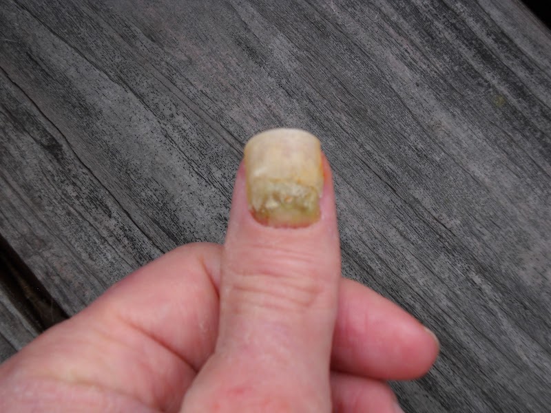
Finally, I had enough, and reluctantly scheduled my first-ever appointment with a dermatologist (I hate seeing doctors). On the appointed day I went to be examined by a practitioner named Rash–no joke.
Ms. Rash looked me over for a couple minutes, then summoned an M.D. for a “what do you make of this?” second opinion. After taking a few skin “scrapping” samples to the back for enhanced examination, they tentatively concluded that my skin spots are not psoriasis but rather ringworm. Which is not caused by worms, but by a fungus. I’m covered with fungi, presumably.
If true, this is good news because a fungal infection is much more treatable. The dermatologist gave me a three-week course of terbinafine. After a few days I’ve seen a color change in some of the spots, consistent with this diagnosis. The skin has developed a white, powdery texture–as if I has been radiated, or maybe a fungus is dying.
I hope this ailment continues to clear up. It would be nice to have normal skin again.
Lesson Learned: Sometimes it’s best not to make uninformed conclusions about a problem. You may need an expert to evaluate it.
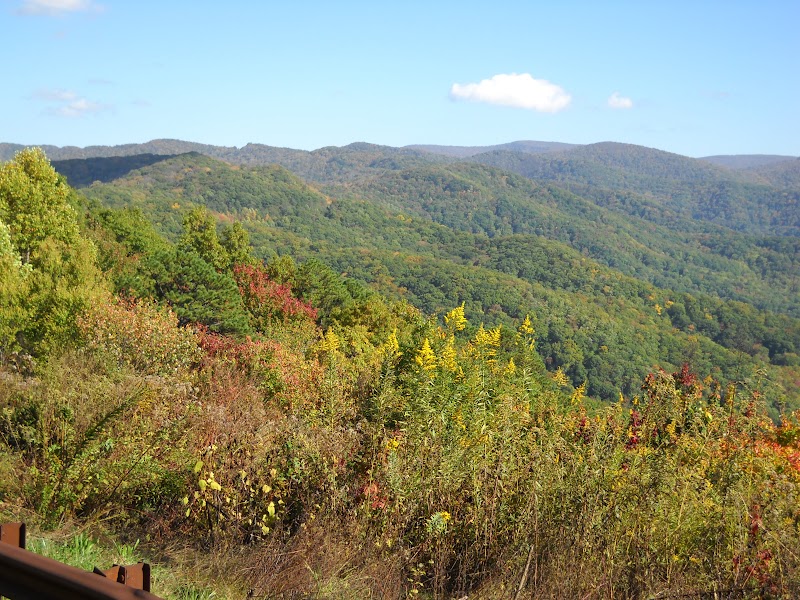
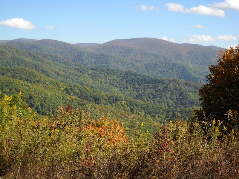
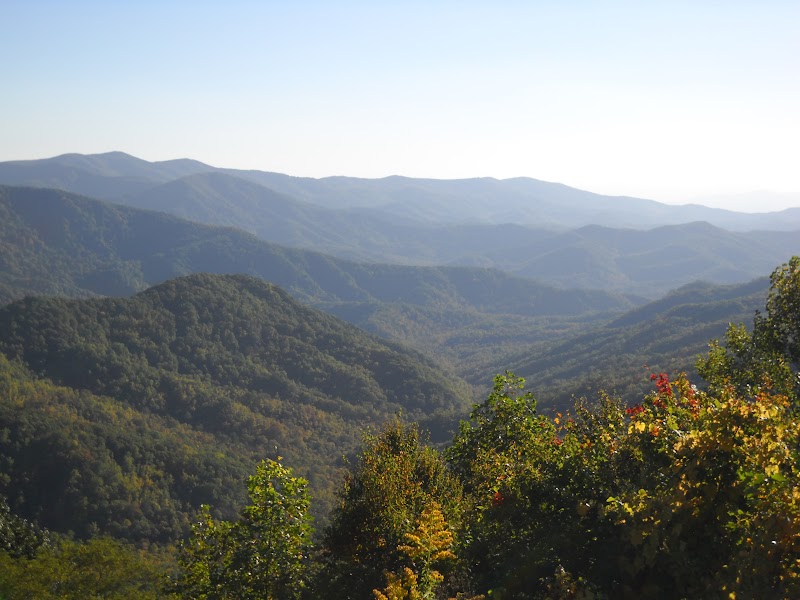
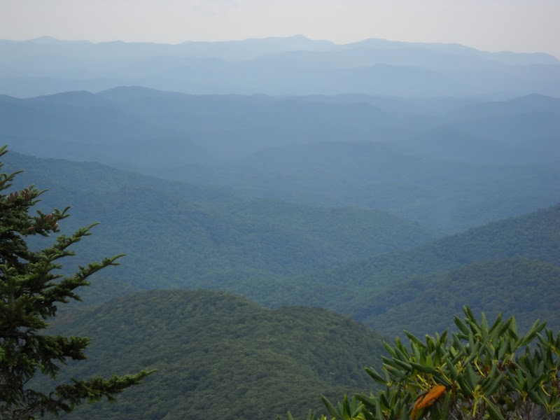
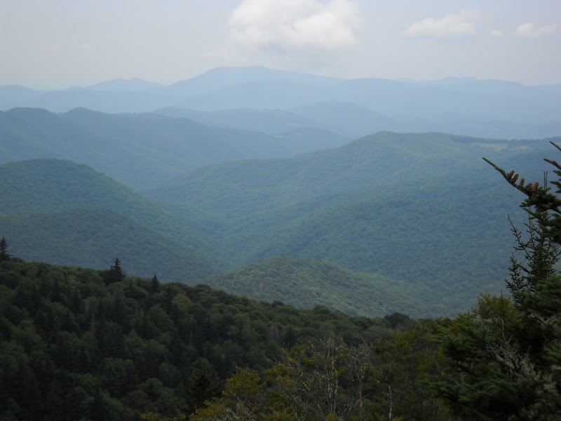
2015 Cherohala Skyway Fall Foliage Ride Report
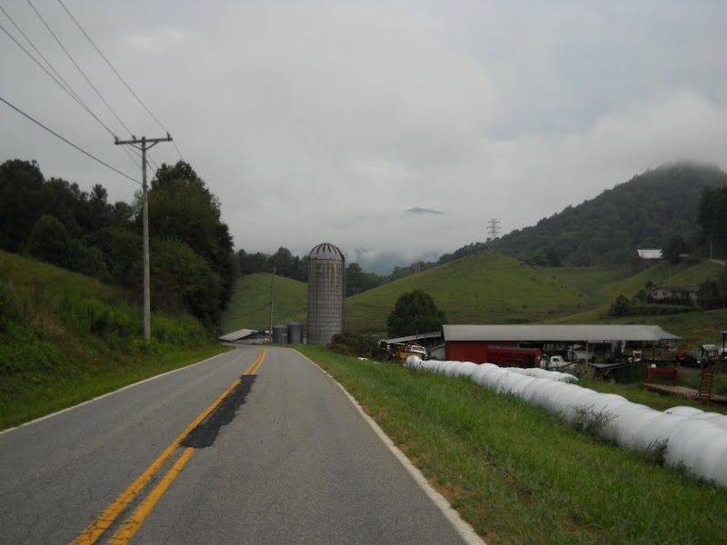
Last week I drove to Tellico Plains, TN, to bicycle to the top of the Cherohala Skyway and enjoy the fall colors.
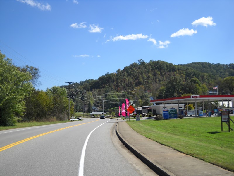
It was as nice an afternoon as I could expect in mid-October. The temperature was 72F when I embarked at 2:00 p.m.
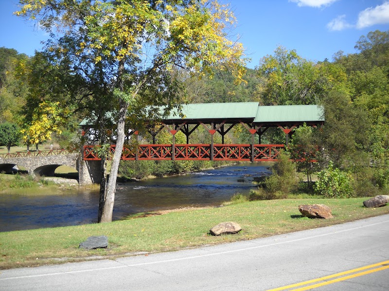
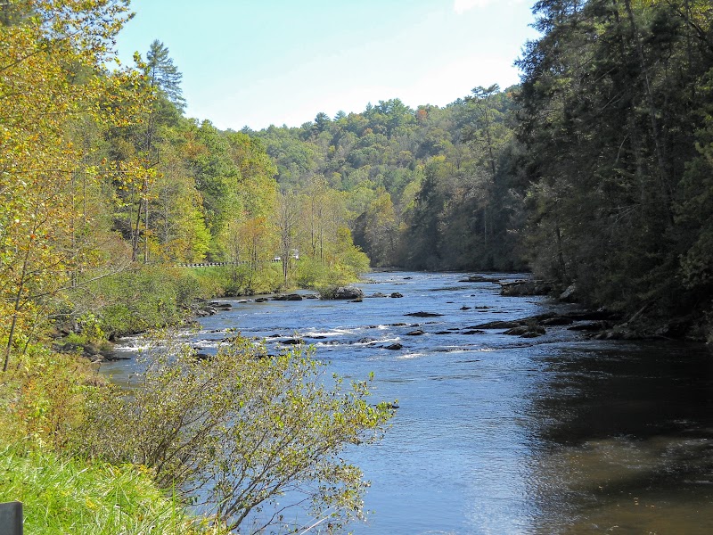
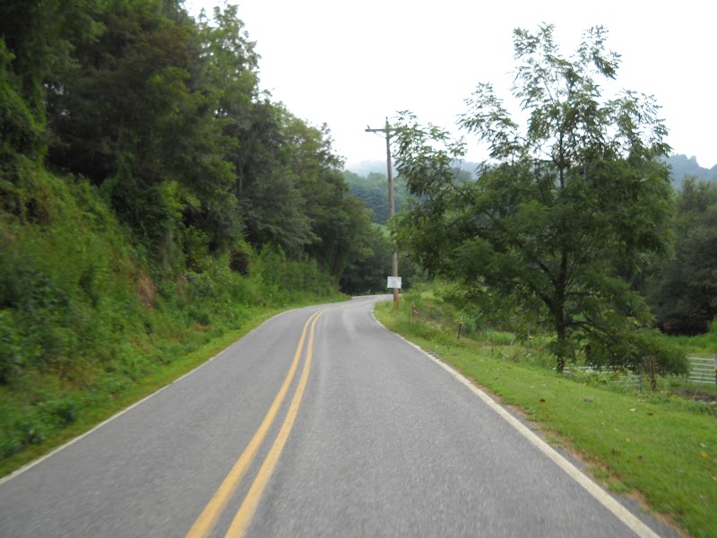
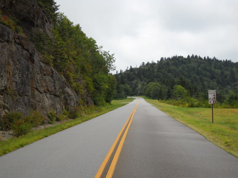
There was some traffic the first five miles along the Tellico River, less so the next six miles to Indian Boundary, and not much beyond that.
It’s easy pedaling along the river.
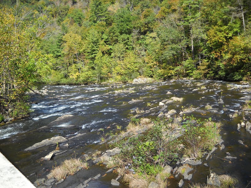
Thereafter, there’s a tough mile to the first overlook, then it’s rolling (but generally uphill) for the next five miles.
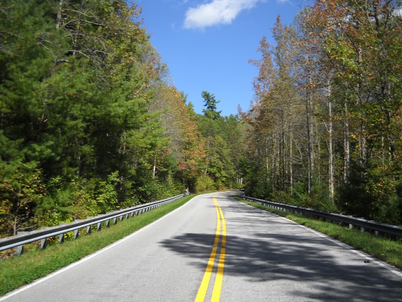
The serious climbing begins 11 miles into the Skyway.
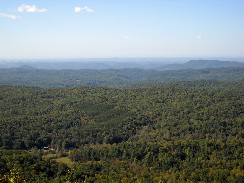
I last did this ride five years ago. Back then I reached the highlands after the leaves had peaked; this time I arrived before maximum color. So it goes.

Common status during the long, slow (6-7 m.p.h) slogs: standing on and mashing the pedals, eyes focused slightly ahead of the front wheel, attempting to keep audible grunts/groans to a minimum, with a song repeating incessantly in my head.
The most vivid colors were red dogwoods and and other assorted red trees.
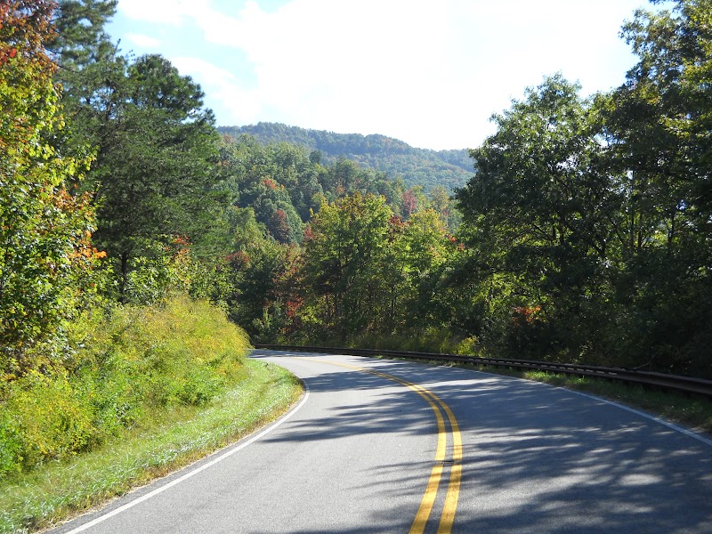
Conquering this road is a vastly different cycling experience than my typical rides. There are rolling hills around Knoxville, but nothing strenuous like this. It’s a tough climb–more so than going up the North Carolina side, I think.
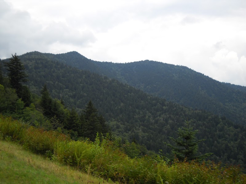
Just as notable is the solitude. No shopping centers, gas stations, or traffic lights. Not even a visitor center. Just a strip of pavement through the forest, with an occasional passing vehicle.
The aloneness with nature is a powerful experience.
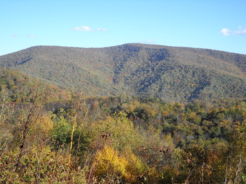
I ran into issues when I got above 4,000 feet, near the North Carolina border. By this time (~5:00 p.m.) shadows were extending on the east side of the ridge. It was also breezy up there. I got chilly, even while laboring uphill.
Moreover, I inadequately fueled myself. All I brought was a granola bar and an apple. That’s not enough to eat; I was hungry and running low on energy.
Finally, daylight was becoming an issue. I had planned to be at the top at 5:00 p.m., but I was 20-30 minutes behind schedule. I knew if I went all the way to the top I would be pushing it to get back before dark.
So four miles into North Carolina, 3.5 miles shy of the summit, I decided to turn around and head back. I was bothered (still am) that after an afternoon of driving and climbing, I quit just short of my goal. On the other hand, the prospect of freezing/cramping/bonking miles from civilization, with no support, was not a good thought. Better safe than sorry.
Fortunately, none of my doom scenarios played out. I warmed up once I got back in the sun. I had enough gas in the tank to overcome the three returning hill climbs. And no cramping.
I enjoyed one more hour amid ridges, lit by lengthening evening rays. I got back to my car a few minutes before sunset.
Ride Statistics
Distance: 55.2 Miles
Time: 4:02
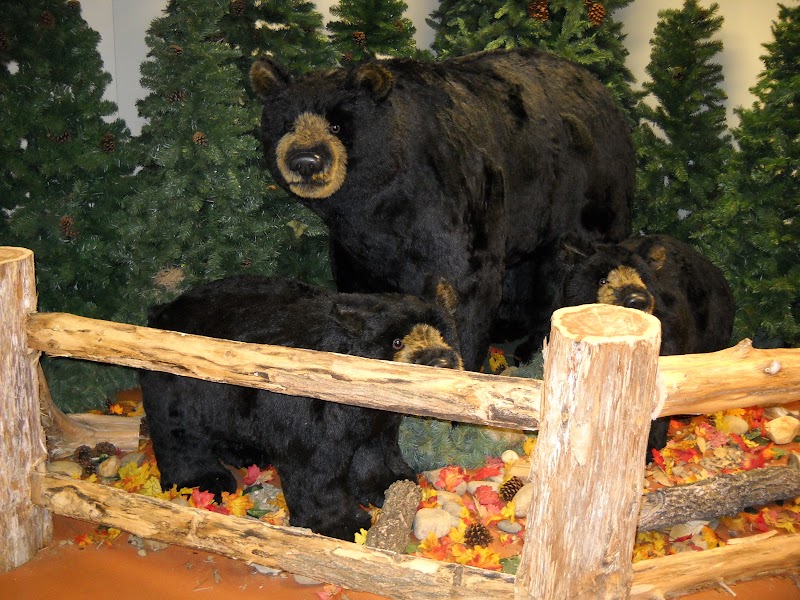
I didn’t see any wildlife during the ride, other than birds and squirrels. But I did spot these cute bears in the Tellico Plains visitor’s center.
The End.
My Drug Addiction
I have psoriatic arthritis, an autoimmune condition which causes inflammation in my joints and skin.
For the past 2.5 years the symptoms have been moderate to severe. For over 2 years I went through several different drug combinations, none of which consistently kept the swelling under control. Despite hefty doses of immunosuppressants, I still had reoccurring joint flareups. On the worst days one or both of my knees were so big that it was difficult to walk. Some days I had a hard time putting on shoes or tying my tie.
Finally this summer I switched to a drug regimen which has succeeded in keeping my joint inflammation in check (although my skin is still a mess). I can basically do all the things I used to do, every day, with little to no discomfort. It’s also helped return my blood chemistry, pressure, and pulse back to normal.
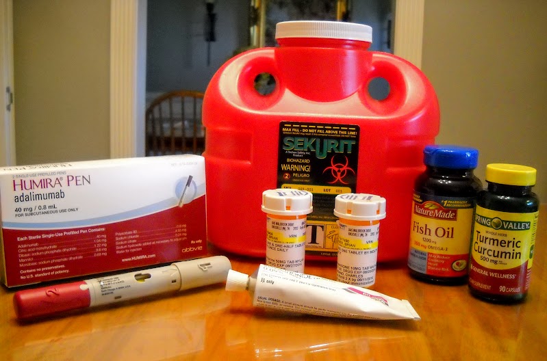
The daily regimen consists of the following:
- Prednisone: 15 mg.
- Azathioprine: 75 mg.
- Humira: 40 mg. injection (every 14 days)
- Turmeric: 500 mg.
- Fish Oil: 1200 mg.
- Fluocinonide: apply to itchy skin once or twice per day
The good news is that these drugs have given me my joints back. The bad news is that they do more than that. The first three are capable of causing many serious side effects. Infections, vision problems, diabetes, depression, cancer–to name just a few.
I would love to stop taking these drugs. For most of my life I rarely took any pharmaceuticals, including aspirin. But when your alternative to being a druggie is to be functionally disabled, it’s an easy decision. You got to do what you got to do.
Hopefully research on the disease will someday soon present me with better options. But for now I’m popping pills.
2015 Blue Ridge Breakaway
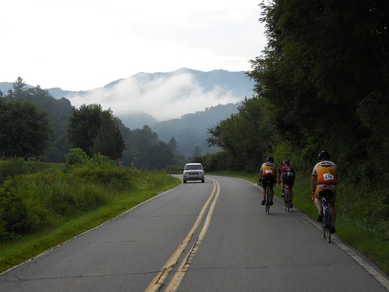
On 15 August 2015 I rode in the Blue Ridge Breakaway (BRB), which started at Lake Junaluska, NC. It’s the first time I’ve done this event, which follows this route:
and has this elevation profile:
I arose super early and departed at 5:00 a.m. for Haywood County. I should have left a bit earlier, because although parking and check-in went smoothly upon my arrival, I didn’t make it onto the road until a few minutes after the official 7:30 a.m. start.
I had previously ridden about half of the BRB route, but most of the first half was new to me.
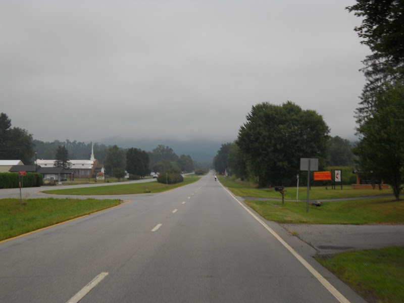
The first seven miles–along highways 19 and 276–are mostly flat. A gentle prelude to get warmed up on.
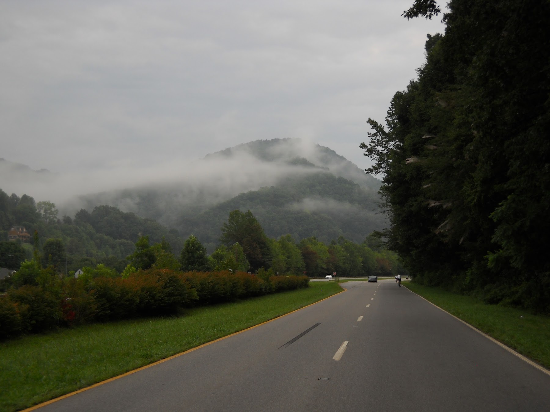
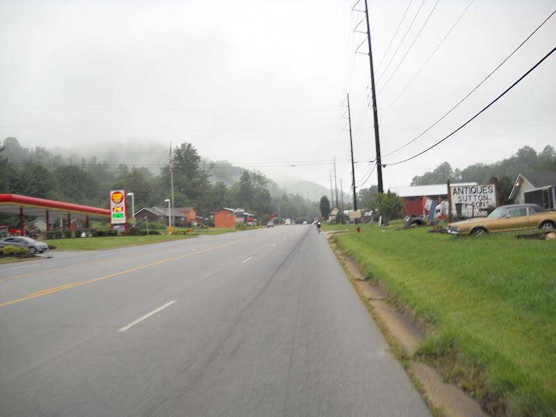
It was an overcast morning with patches of fog scenically shrouding the hills. The weather forecast (in Knoxville) called for a lovely August day, partly sunny skies, highs in the upper 80s, with a slight chance of afternoon showers. It didn’t turn out that way.
Saturday morning traffic was light.
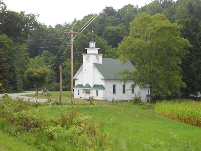
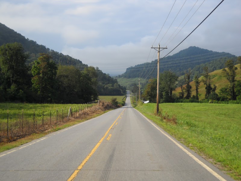
After seven miles the route departs the highway onto rural roads.
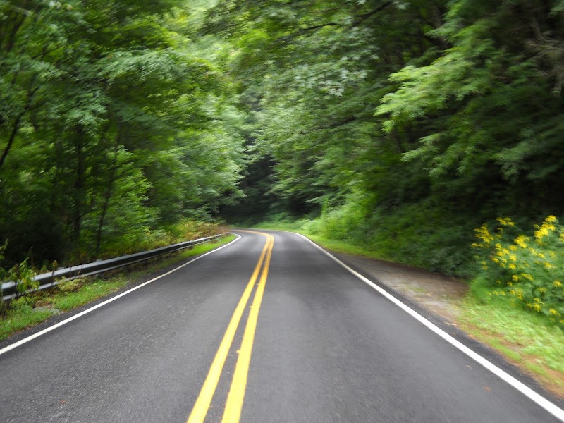
The roads wind around and over hills.
This is the roller coaster part of the ride. The terrain and curves keep you on your toes. No snoozing here.
I haven’t ridden in virgin territory much in the last couple years, so it was fun discovering something new around every corner.
I stopped at the first rest area. All of them, actually.

Fines Creek rest stop
The BRB had eight stops. That’s more than I’ve seen on any other organized ride. So it’s well supported in that regard. But the food selection varied–some stops were much better stocked than others. If I ride again, I’ll know where to look for the better food.
One criticism of the event, which didn’t affect me, but I heard other riders talking about: at least two of the stops didn’t have any mechanical support. They didn’t even have an air pump. The staff said they could call someone in to help, but that’s unneeded hassle and delay. A rest stop should have essential tools.
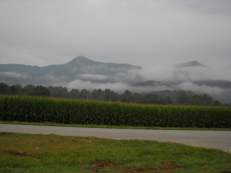
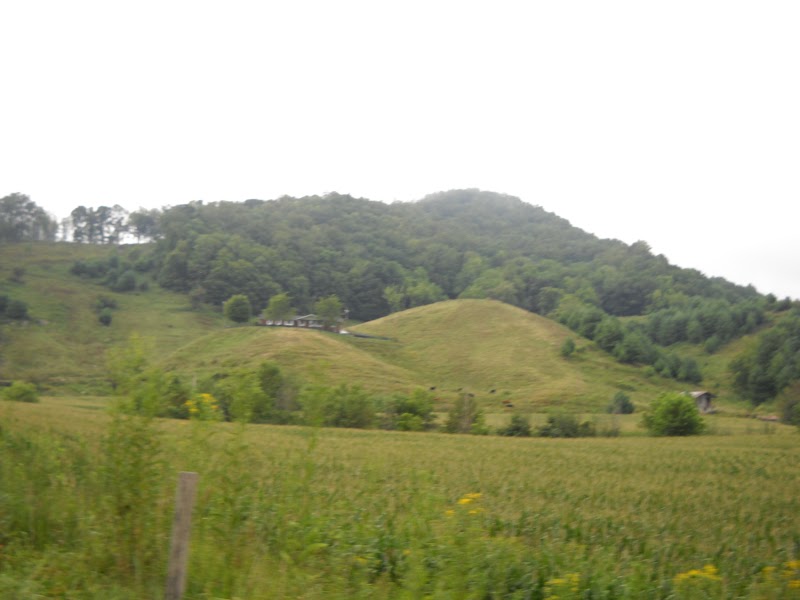
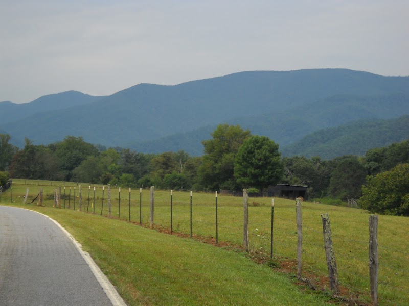
Between miles 29-44 the route has several open, flat stretches of road. I was fascinated by the topography. The area is surrounded by mountains, but in the valley there’s more level riding than here in Knoxville. A few times it appeared I was heading toward a tough climb, but then the road would weave its way through an unseen opening between the hills.
At mile 44, the route starts climbing on 215 through the forest, eventually passing by a lake.
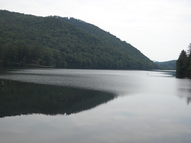
Lake Logan

Me, posing with the view upstream from Lake Logan
I was lucky rider #6, out of what I heard was 100 century riders, and 300-400 total riders.
After the mile 50 rest stop, there’s a continuous ten-mile ascent. Most of it is ~5% or less, but there are some steeper pitches. I generally climbed in the 7-9 m.p.h range.
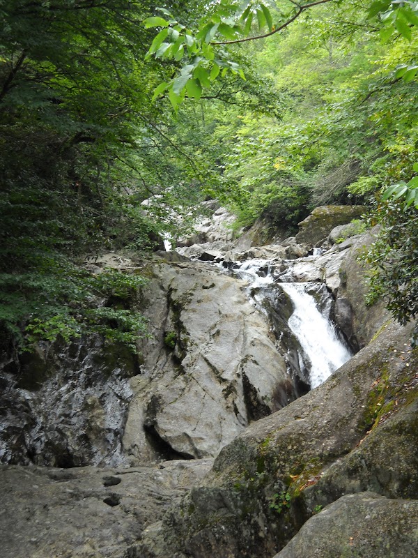
After the waterfall, the view opens up more.
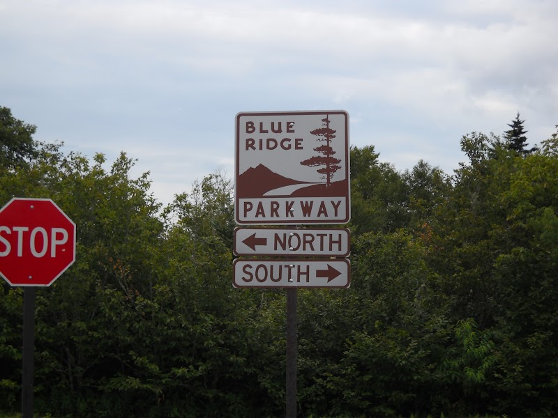
At last I reached the Blue Ridge Parkway (BRP).
At the mile 70 rest stop I got bad news. According to radio chatter, there was rain ahead. Not just a shower, but a “downpour.” A stop volunteer helpfully offered a poncho, which I stuffed in my jersey pocket.

Last photo before the rain
At mile 75 it started raining and continued to do so–in varying intensity–for the remainder of the ride. Not a downpour, but enough to get wet. And once you, your bike, and the road are wet, you’re wet.
The next five downhill miles weren’t fun. It was sloppy, difficult to see (wet sunglasses), the poncho/parachute made a racket, and my wet brake pads didn’t grip. I had to apply the brakes well ahead of the curves to negotiate the road. If something had forced me to make an abrupt stop, I would have been in trouble.
I was relieved to reach the (temporary) bottom and slow down with the day’s final climb: eight miles up to Waterrock Knob. And it was a slow, steady 7.5-8.0 m.p.h., most of the way.
Physically, this climb, and the day in general, went well. I didn’t set any speed records, but I was in good enough shape to comfortably complete the event without any bouts of cramping. My knees were good–no problems with arthritic inflammation. The latter part of the ride I had some minor discomfort in my right hip, but it was tolerable.
Being concerned about my braking issues, I asked a rest stop attendant about any steep descents the remainder of the route. He told me there wasn’t anything steeper than what I’d already seen on the BRP.
Turns out, he either he didn’t understand my question, or he forgot about this part:
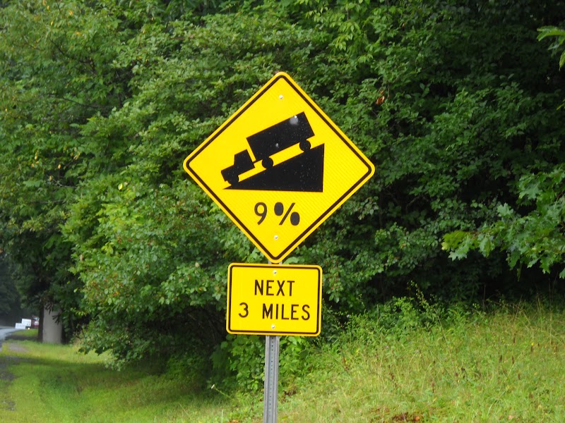
When you turn off the BRP there’s a steep decent on Highway 19 back into Maggie Valley. To make matters worse, the road is high traffic, has only two lanes at the top (it broadens to four in Maggie Valley), and a 50 m.p.h. speed limit.
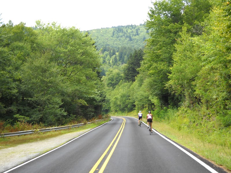
Self-preservation being my top goal, I didn’t go anywhere close to 50 m.p.h. I kept it under 25 m.p.h. regardless of how many vehicles were backed up behind me. [There was another cyclist just ahead of me, so I didn’t feel so bad about slowing traffic.]
Frankly, this three mile descent, and the last seven miles through Maggie Valley/Lake Junaluska, were my least favorite part of the ride. It would have been O.K. if it was dry, but the sloppy conditions, combined with the traffic, left a sour aftertaste on what had otherwise been a tranquil outing.
At any rate, I was happy to make it to the finish line without getting run over by a monster pickup truck. Officially I completed the 105.7 mile course (9,600 feet of elevation gain) in 9:10:08. According to my computer, 7:21:42 of that was riding time–the rest was stoppage time.
I was hungry and enjoyed the post-ride meal, which included two black bean burgers, nachos, coleslaw, and sundry snacks.
After I finished the rained stopped, the sun peaked out, and it turned out to be a nice evening. Great timing.

Lake Junaluska
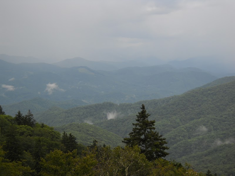
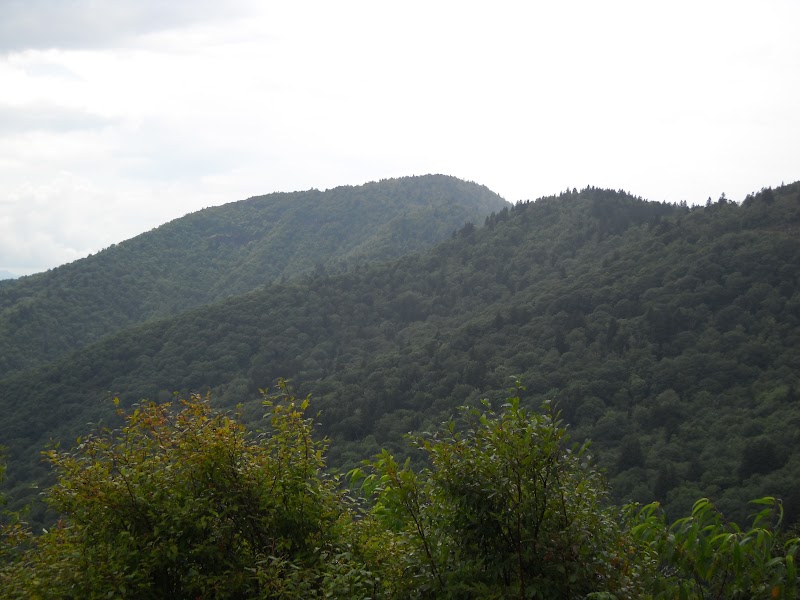
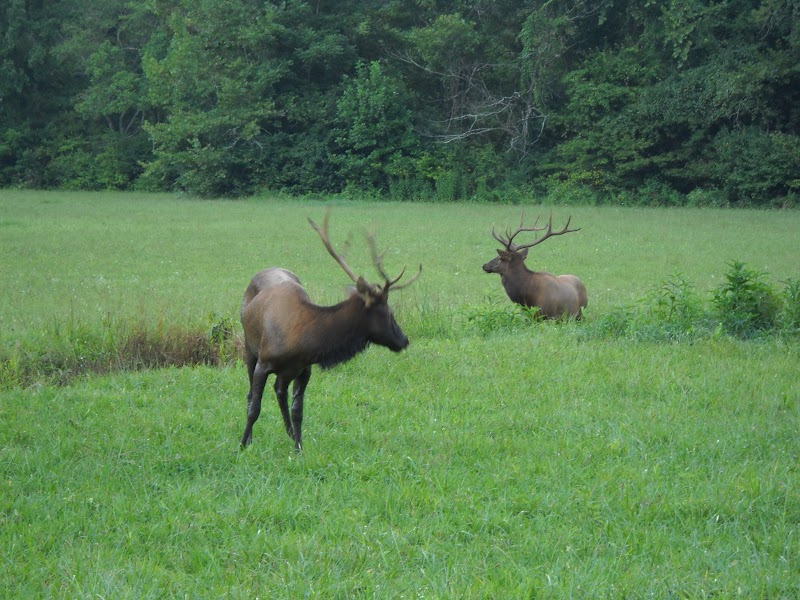
We decided to drive home the scenic route: a short stretch of the BRP, then through the Great Smoky Mountains National Park (GSMNP) to Townsend/Maryville/Knoxville.
There was a surprise awaiting just inside GSMNP. I saw a bunch of cars lined up on both sides of 441, and then this:

Oconaluftee Visitor Center
Three elk! It’s the first time I’ve ever seen them in the Eastern United States. One was in the field and two were wallowing in a small ditch.

Sunset over the Southern Appalachians
Although tiring, I enjoyed this full day. Two thumbs up for the Blue Ridge Breakaway. The scenery is terrific and the support is good. I hope to do it again next year.
The End.